April 2013, weekend
We took the Old Red Trail Scenic Byway from Dickinson, North Dakota to Bismarck, North Dakota. We had printed a few maps and some information from the website before we left Dickinson; however, the trip was still a bit of a guessing game since the route was not well marked.
I had written the "Talking Trail" telephone number and several extensions on the maps I printed, so we listened to the audio in many of the towns that we went through, which was kind of cool. The only thing I found frustrating with the audio, is that the call disconnected after each segment, so we had to redial the number for the next extension. Some of the towns had three or more points of interest, so it was kind of a pain to redial the number and wait for the connection and greeting instead of just entering the next extension.
One of the stops we wanted to make was at Fort Sauerkraut. We were disappointed that I had not printed good enough directions to get us there, because this was not marked on the trail, and we could not find it.

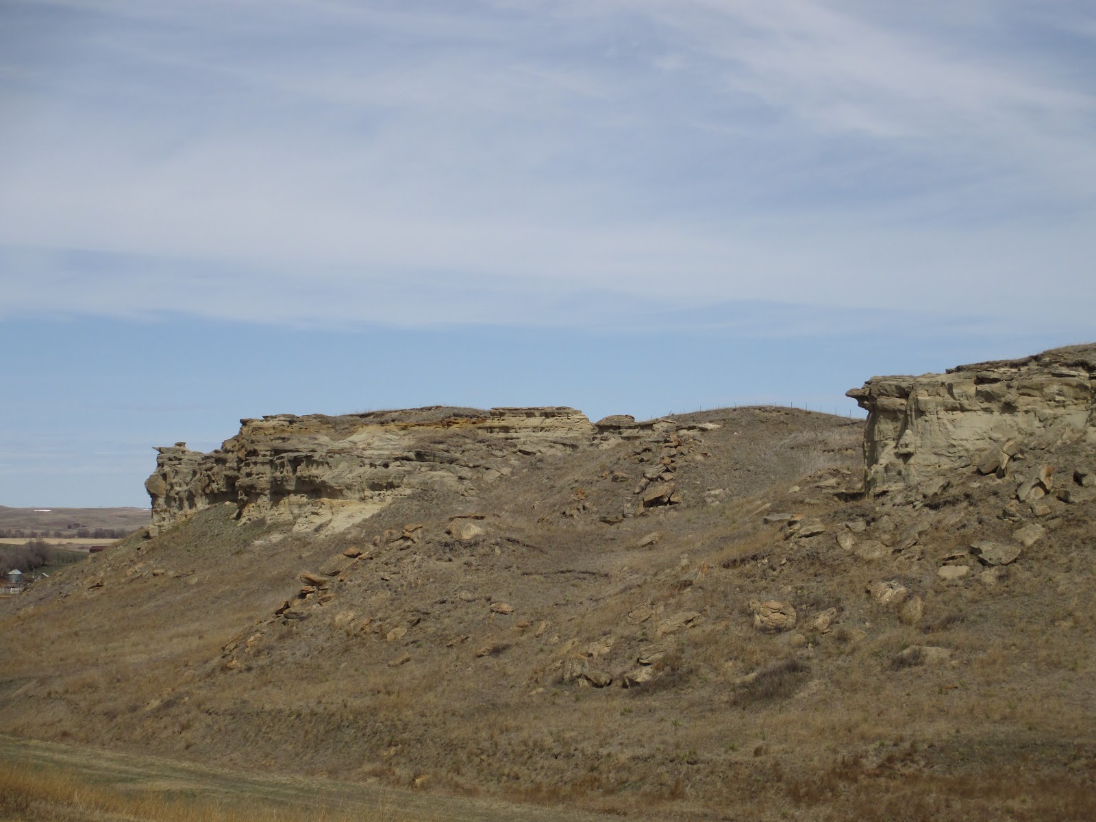
Another stop we wanted to make was at Lovers Cliff in Almont. Again, the directions were not very clear, and the pushpin location on the map is not accurate. This was not marked on the trail, and after a few wrongs turns, we were finally able to find it. All three of the photos here are of Lovers Cliff.

Near the start of this trip, we took a detour from the Old Red Trail to drive down the Enchanted Highway, which is not too far from where we started in Dickinson. The Enchanted Highway runs from exit 72 off I-94 and south to the town of Regent. The map of the sculpture locations must not be to scale, and most of them must be near the town of Regent, which is 32 miles south of the interstate. We drove half of the distance, as far as the town of Lefor, and saw only two sculptures.
The two sculptures that were saw were pretty cool looking, and if we had not already planned to spend the day taking the Old Red Trail, we would have continued farther south--or, if this southern route would have been close to the direction we needed to go, we would have continued. At this point, we did not know how long it would take us to get to Bismarck at our leisurely pace, so we did not continue after we got as far as Lefor.
These are photos of Deer Crossing and Geese in Flight on the Enchanted Highway.

 |
| Geese in Flight from a distance |

 |
| Geese in Flight entrance with birds on each post |
We sometimes drove great distances in North Dakota without seeing a gas station or a restaurant. Be sure and plan your day accordingly, and enjoy your travels!
No comments:
Post a Comment