Search This Blog

Showing posts with label road trip. Show all posts

Sunday, May 12, 2013

Old Red Trail Scenic Byway and Enchanted Highway

April 2013, weekend

We took the Old Red Trail Scenic Byway from Dickinson, North Dakota to Bismarck, North Dakota. We had printed a few maps and some information from the website before we left Dickinson; however, the trip was still a bit of a guessing game since the route was not well marked.

I had written the "Talking Trail" telephone number and several extensions on the maps I printed, so we listened to the audio in many of the towns that we went through, which was kind of cool. The only thing I found frustrating with the audio, is that the call disconnected after each segment, so we had to redial the number for the next extension. Some of the towns had three or more points of interest, so it was kind of a pain to redial the number and wait for the connection and greeting instead of just entering the next extension.

One of the stops we wanted to make was at Fort Sauerkraut. We were disappointed that I had not printed good enough directions to get us there, because this was not marked on the trail, and we could not find it.


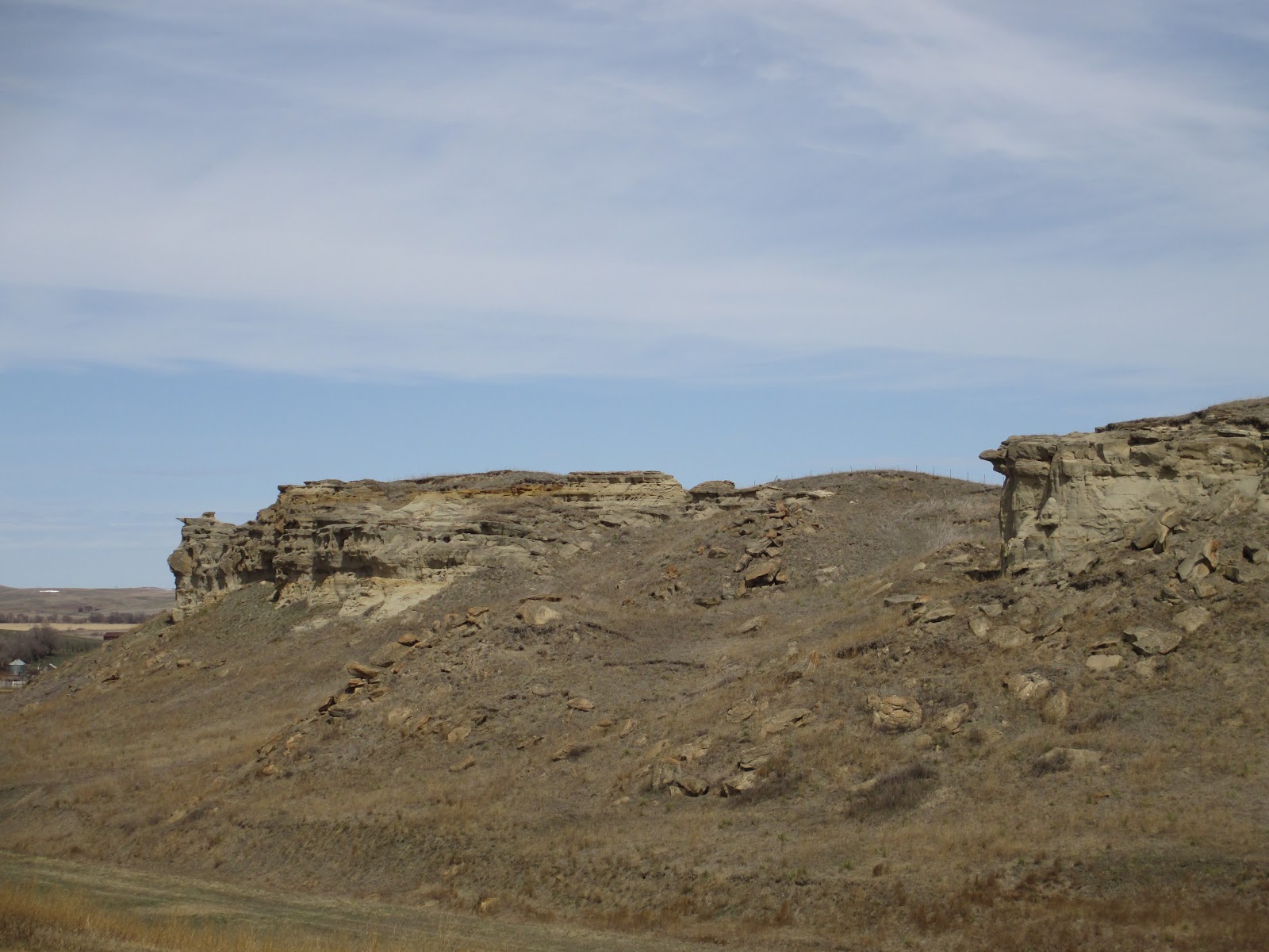
Another stop we wanted to make was at Lovers Cliff in Almont. Again, the directions were not very clear, and the pushpin location on the map is not accurate. This was not marked on the trail, and after a few wrongs turns, we were finally able to find it. All three of the photos here are of Lovers Cliff.


Near the start of this trip, we took a detour from the Old Red Trail to drive down the Enchanted Highway, which is not too far from where we started in Dickinson. The Enchanted Highway runs from exit 72 off I-94 and south to the town of Regent. The map of the sculpture locations must not be to scale, and most of them must be near the town of Regent, which is 32 miles south of the interstate. We drove half of the distance, as far as the town of Lefor, and saw only two sculptures.


The two sculptures that were saw were pretty cool looking, and if we had not already planned to spend the day taking the Old Red Trail, we would have continued farther south--or, if this southern route would have been close to the direction we needed to go, we would have continued. At this point, we did not know how long it would take us to get to Bismarck at our leisurely pace, so we did not continue after we got as far as Lefor.

These are photos of Deer Crossing and Geese in Flight on the Enchanted Highway.


Geese in Flight from a distance

Geese in Flight entrance
with birds on each post


We sometimes drove great distances in North Dakota without seeing a gas station or a restaurant. Be sure and plan your day accordingly, and enjoy your travels! 

Thursday, May 9, 2013

Theodore Roosevelt National Park - North Dakota

April 2013 - Weekend, 11:15 a.m. - 4:45 p.m.


One could easily spend an entire day in Theodore Roosevelt National Park. We spent about six hours visiting the park, including the drive between the North and South units. We were not rushed, although this would have easily turned into several more hours, if we had walked more of the trails in the park. My husband was just healing from a twisted ankle a few weeks before our trip, so we did not do as much trail walking as we normally would.

The cost to enter the park is $10 per vehicle, and the pass is good for seven days. I have uploaded a photo of the park brochure and map, although you can probably find better information on the website link above, if you want to do any research before you go. We did not look up anything before our visit, and I do not  think that affected our visit at all.

North Unit overlook
We visited the North Unit first, since we were on our way south from Williston. The main Visitor's Center is located in the South Unit, which is the area of the park visited most. There is a pullout viewing point on Highway 85, just north of the North Unit park entrance.

We liked the North Unit best, so I am glad that our route brought us to that portion first!


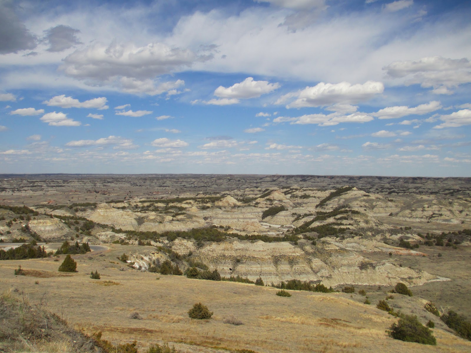
North Unit
The North Unit office has limited open times before summer. It was staffed the day that we visited, and the ranger was very helpful. There were a few taxidermy stuffed animals on display in the center, and there was a sit down video, which we did not watch. There were also a couple of souvenir type items for purchase. Restrooms with flush toilets, and a drinking fountain with the capability to fill water bottles, were located in the foyer.


There was not much traffic during our visit. The wildlife that we saw included bison, longhorn steers, a rattlesnake, deer--one of them closeup, and pheasants. We were disappointed that we did not see any Bighorn sheep or elk. The first wildlife that we saw were longhorn steers and bison. This review will have so many photos, that I am having a difficult time choosing the right ones to post!


The next two photos show and explain how the "slumps" of landscape are formed. Remember that photos can be enlarged, if you click on them.


This next photo is from the stop called Cannonball Concretions.


We saw a rattlesnake on the road next. It almost blends right in with the pavement!

A couple more photos before we turned around to head back toward the entrance.
Overlooking the Little Missouri River at the end of the road


These two photos are from the River Bend Overlook stop.


Three last photos from the North Unit, just because I could not stop taking pictures! Our day started out overcast, and the sun was out by the time we left the North Unit. We stopped at the picnic area for lunch before heading to the South Unit.


Painted Canyon Visitor's Center
We were disappointed that the Painted Canyon location was not open at the time of our visit. I had read that it is open on the weekends in April; however, the gate was closed when we stopped. There was a vehicle parked at the gate, although we did not see anyone around. After we drove off, I wondered if we would have been able to walk around the gate to take an overlook photo of the South Unit. This next photo was taken from the highway after we found out the location was closed.
South Unit
We did not get as many photos in the South Unit. Not only because we liked the North Unit better, but also because we had not paid attention to our camera battery, and it was going dead. Fortunately, I realized that the GPS car power cord had the same connection as the camera, so we were able to plug it in to get some photos. It did not recharge very quickly though, and the camera would not work to take photos while it was plugged in. If we had realized this sooner, we would have had the camera plugged in during the one-hour drive between the two units.

The Visitor's Center in the South Unit is open daily year around. It is much larger than the one in the North Unit, with a substantial gift shop. There is also a museum, and a park video, which again, we did not watch. The facilities at the entrance were similar to the North Unit, with restrooms and a drinking fountain.

We followed the 36-mile loop through the park around to the right, and the wildlife we saw included bison, prairie dogs, deer, and wild horses.

2nd Prairie Dog Town
There are several Prairie Dog Towns listed on the map. We thought the best viewing was at the second and last towns. In fact, at the last Prairie Dog Town, near Peaceful Valley, we saw dogs running across the road and along the sides of the road. The two photos here are from the second and last towns. We took photos at the first town too; however, the dogs in that area seemed to blend in with the landscape more.
Last Prairie Dog Town


We saw many deer laying in the distance beyond the prairie dog in the last prairie town, although they are not very visible in the photo.


Here are a few photos near the start of the loop, before we arrived at Buck Hill. Wild horses are visible in the first photo.
Wild horses


Buck Hill is the highest elevation in the park, and it was SUPER windy when we were there! I told my husband that I felt like I was about to be blown over the side. We could see a large cave opening in the landscape across, which is barely visible in the photo on the left.
Buck Hill - cave
Buck Hill toward the parking lot


One more stop for us, and more buffalo! Most of the buffalo that we saw in the South Unit were near the start of this trip, and in the same area at the end.

In the campground


Now that I have finished this blog post, maybe I will start singing a different song in my head other than, Home on the Range! I wish everyone an enjoyable visit at the park, and I hope you have enjoyed this blog post!

Tuesday, April 24, 2012

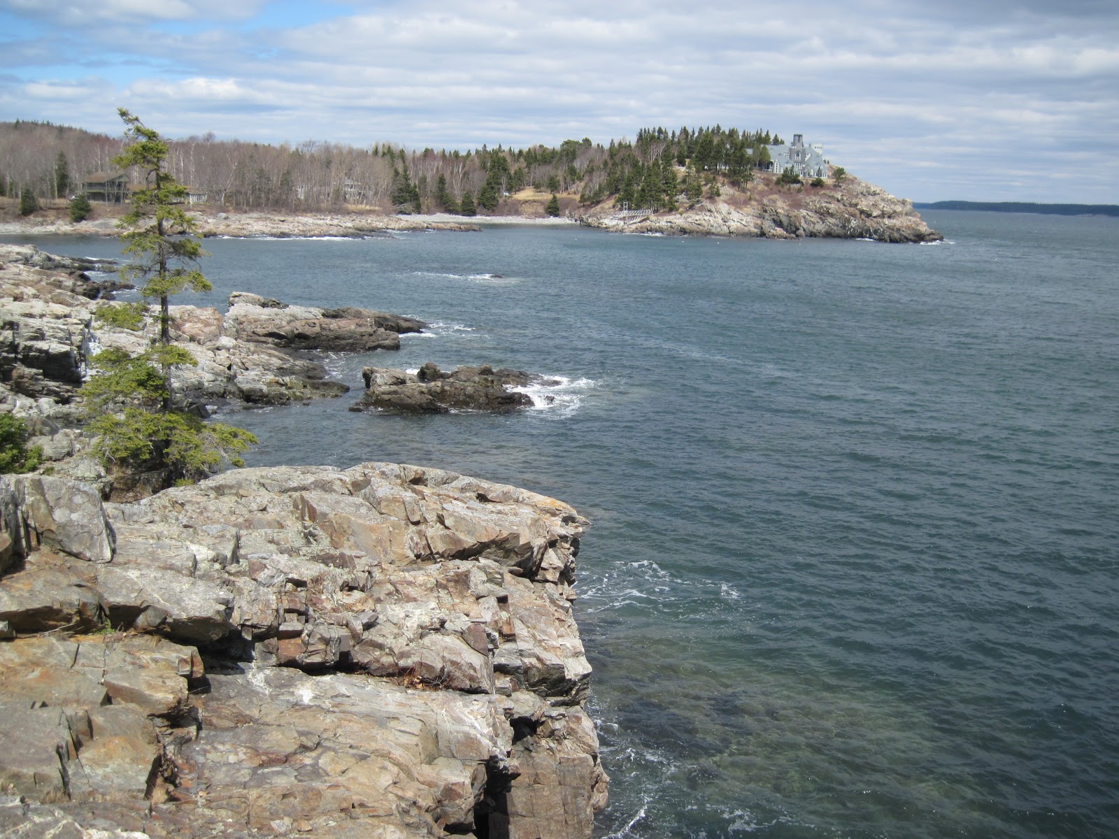
Acadia National Park / Bar Harbor, Maine

April 2012, Easter weekend day visit

We decided to add a visit to the national park to our itinerary at the last minute, even though the park does not fully open until May. Since the park was not completely open, there was no park entrance fee; however, some of the roads were also not open either. The road to Cadillac Mountain was closed, and part of the one-way road at the end of Park Loop Road was closed. Jordan Pond was open; however, we missed that. Below is a brief recap of our April trip with some photos.

It was cool the day of our visit, and fortunately, the sun was shining brightly for most of the day! The park was not very crowded, although we did pass a few hikers and vehicles. A couple of the restrooms were open, as well as Park Headquarters on 233/Eagle Lake Road. We were not sure this would be open since we visited on Saturday. The location on 233 is listed as the winter facility with open hours on Monday through Friday from 8:00 AM - 4:30 PM. The park information online also says that the facility is closed on holidays, and since we were there on the Saturday of Easter weekend, we were surprised to find it open. The bathrooms were open at the Headquarters, and maps were available. The young man we spoke with was knowledgeable, helpful, and friendly. All of the trash containers throughout the park were closed and covered, so plan to take your trash with you at this time of year.
view from overlook
Schooner Overlook


We made several stops along Park Loop Road. Our first stop was Schooner Head Overlook, where we were able to climb down the rocks fairly close to the water.


The second set of photos are views from the rocks below the overlook. There is a foot path from the overlook to this area.


Our second stop at Sand Beach was breathtaking! We were surprised to find such calm water on the ocean, and soft sand amidst all the rocks in this area. Even though my husband has swam in Lake Superior before (which is VERY cold), he doubted he would ever swim in the water here--even in the heat of summer. The young ranger we spoke with at Park Headquarters agreed with us, and said that not many people swim here.


Our next stop was Thunder Hole. The rocks and view are beautiful here--just like all areas in the park! We observed a few puddles and wet rocks, although we did not see any thunderous splashes while we were there. There are restrooms located in the parking area across the road from Thunder Hole (not listed on the maps I had); however, they were not open in April.

Otter Cove

Park Loop Road was closed around Otter Point and Otter Cove, although Otter Cliff Road was open back to the cove. The water was calm and clear in Otter Cove, and we observed several hikers during our brief stop. We did not see any otters though!

Otter Cove

We also drove around the southwest portion of Mount Desert Island, which the ranger had told us has more camping and boating on the inland waters; however, I do not have any pictures from that area.

Overall
This park is beautiful, and definitely worth a visit--even when it's cold out. We would like to visit again when the weather is warmer, and we are able to spend more time at the park. There are many maps, reviews, and information about the park online, although I thought the materials provided at Park Headquarters was even better. Here is a link to the park website: Acadia NP