July 2020, 3-nights, weekday-weekend
 |
| Campsite 5 at Graves Crossing State Forest Campground. |
Graves Crossing State Forest campground, sites 1 - 5
This campground has only 10 campsites, and we were a bit worried about finding a site available and big enough when we arrived Thursday night. Things ended up working out very well for us. There was only one site available when we arrived; site 5 next to the outhouses. Campsite 1 was also empty; however, there was a tag on the post. We needed two sites, as we had friends arriving the next day in their fifth wheel. The man on campsite 2 came over to talk with us when he saw us looking around. He said he was going to be leaving the next day, if we wanted to move. This helped us know that there would be a site available for our friends, so we set up camp on site 5.
 |
| Graves Crossing State Forest Campground; fire on campsite 5 facing site 4 and back of second loop. |
Other than campsite 5 being right next to the outhouses, this is a nice large site. I imagine campers in tents prefer it more than someone in an RV. The campers who set up after we moved were in tents. The outhouses did not smell when we were there, although the dumpster did, which is close to campsite 1.
Before we finished checking in, we had learned that the campers on site 3 were also leaving the next day, so we only paid for one night. The next day, we moved to site 3, and our friends took site 2. These were two of the best sites in the front loop of the campground for people camping together. Sites 6 - 10 are in loop two after you pass the outhouses on the main entrance road.
 |
| Campsite 3 at Graves Crossing State Forest Campground. |
Campsite 3 is quite large, and you can just barely see a small portion of the river down the hill. The people on this site before us had two trailers and a tent on the lot! I am actually not sure if that is allowed, although I could not find any written restrictions when we checked in. We did not see any rangers checking things during our stay. There is a pathway between campsites 2 and 3, and site 2 is a decent size, as well. Both sites are mostly flat. There is also a narrow path from both of these sites to the kayak launch on the river. This campground has a plethora of poison ivy, so be careful in the woods!
This is a primitive campground with only outhouses, and a central hand well pump for fresh water. The cost is $15 a night, plus you need a Michigan recreational passport. There is a fire ring and picnic table on each site. All of the campsites in this campground are first come, first serve; however, many sites were being held, rather than occupied, during our stay. The person who had left the tag on campsite 1 did not leave any equipment on the site. After many people looked at this site, someone finally set up camp with an RV on the site Friday night. When the person who had left the tag arrived, I thought there was going to be a fight. Fortunately, things ended peaceably. There were also at least two vehicles across the drive of sites in the second loop with no visible people or camping equipment for over 24 hours. Additionally, the people who took site 5 after we moved on Friday morning, set up their belongings, left, and then never returned before we departed on Sunday afternoon. It is sad to see this, as there are often people like the campers who had been on sites 2 and 3, who would be leaving before the people holding the sites are even using them.
 |
| Jordan River at Graves Crossing. Launch is located just outside the photo on the left. |
Jordan River kayak trip
This river can only be traveled in a kayak from Graves Crossing to Lake Charlevoix. I had read that the first section, from the campground to Old State Road, is the most challenging. The guys decided to travel just that short section our first day since that was also the arrival day for the rest of our group. This trip was about an hour or less.
 |
| New bridge behind the trees on Old State Road. Photo taken from northeast corner after traveling under the bridge. |
The information provided by ATI consulting for this section of the river is incorrect. Their website covers all rivers in northwest lower Michigan, and it was last updated in February of this year. Apparently, there used to be two culverts under Old State Road, and the launch area was just a spot next to the road right after the culverts on the northeast corner. A new bridge has recently been put in (the culverts were removed!), along with a parking lot and launch park. The new parking area and launch are located before Old State Road on the opposite (west) side of the river. I had told the guys we would pick them up right after they went through the culverts on the northeast corner. 😳 This caused a bit of confusion for all of us! The new parking area and launch is called Chestonia Bridge Access, and a Michigan recreational passport is required to park in the lot.
 |
| Jordan River between Old State Road and Webster Bridge. |
The second day, our entire group started at Graves Crossing, and we traveled to Rogers Road. We did not kayak the last section, because I had read that the river becomes quite slow from Rogers Road to Lake Charlevoix. Our trip was about 3½ hours with a few casual stops.
 |
| Rogers Road. Photo taken from landing after we got off the river. |
The water in Jordan River is beautiful, and the current is swift. The water was murky when we got out at Rogers Road, which is the only place where the water was not crystal clear. There were a few obstacles in the water, although nothing serious that caused us any trouble. The water temperature was quite cold; almost numbing when we first started, and then refreshingly cool the farther we traveled. The parking lot at Rogers Road was overflowing with vehicles when we arrived at the end of our trip. It had been mostly empty when we had staged our vehicle that morning.
 |
| Trail map near Pinney Bridge Campground parking area next to Jordan River. |
Dispersed camping and Pinney Bridge State Forest Campground
We had heard that dispersed camping is allowed in Jordan Valley along Pinney Bridge Road. Since there are only 10 campsites at Graves Crossing, we decided to check it out. What we observed indicates that dispersed camping is not allowed. A sign at the start of Pinney Bridge Road from M-66 says that camping is only allowed in designated camping areas. Parking for Pinney Bridge State Forest Campground is about 2 miles off M-66, and then it is about ¼ mile hike to the campground. Google maps seems to think you can drive back to the campground; however, you cannot drive there. We did not see any signs designating that we had arrived at the campground. The trail sign photo above is the only sign we saw in this area. We parked at "P" #8.
 |
Both photos Jordan River from Pinney Bridge. |

The river also does not look like it is navigable from this area. I have included a few photos here, along with a view of the river just above Graves Crossing.
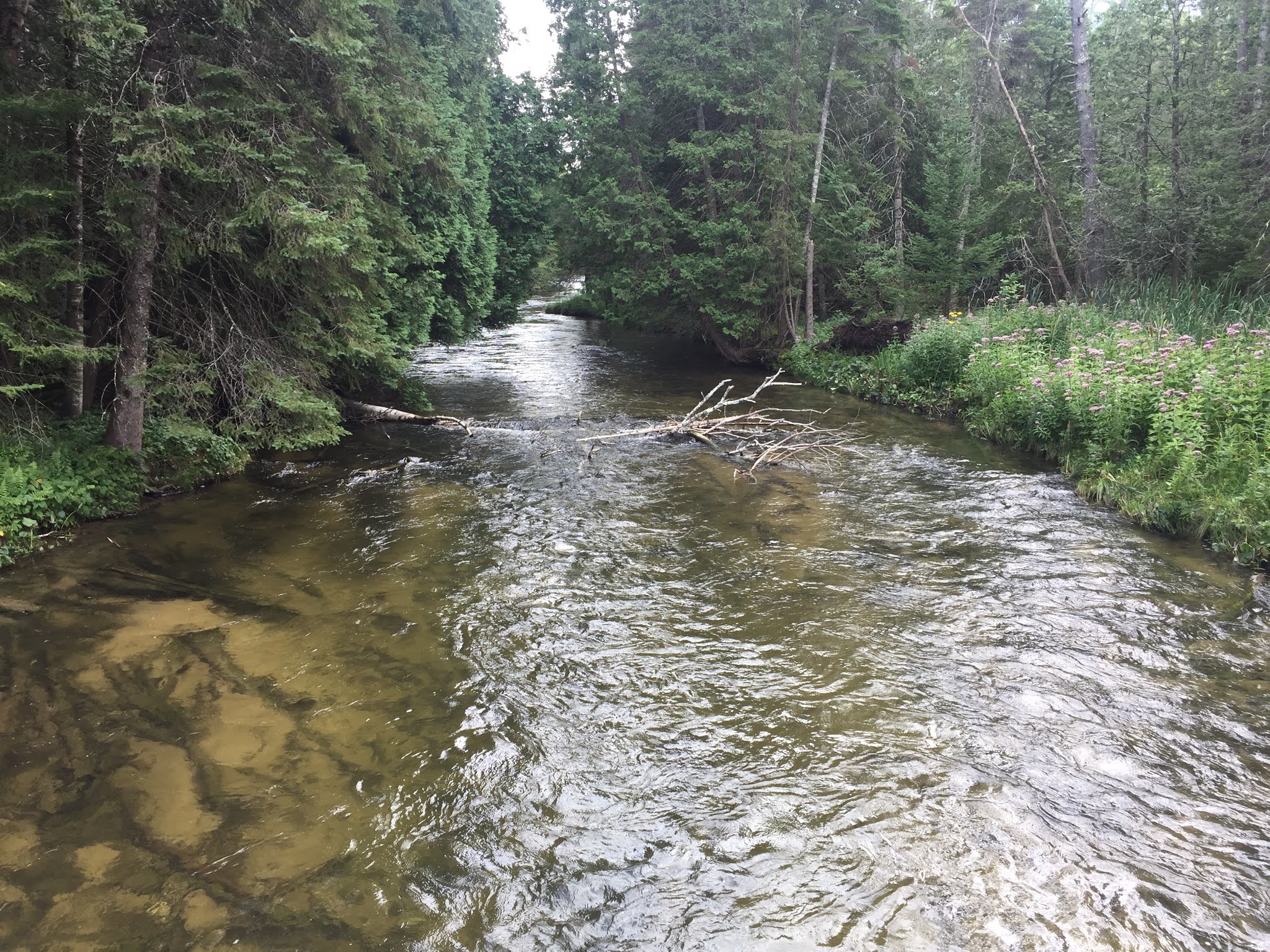 |
| Jordan River above Graves Crossing. |
Let me know if you have any questions or information to add!
No comments:
Post a Comment